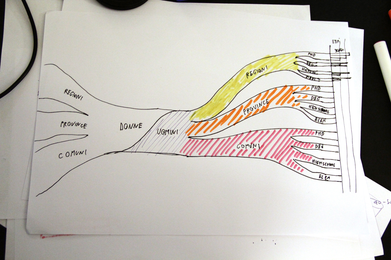
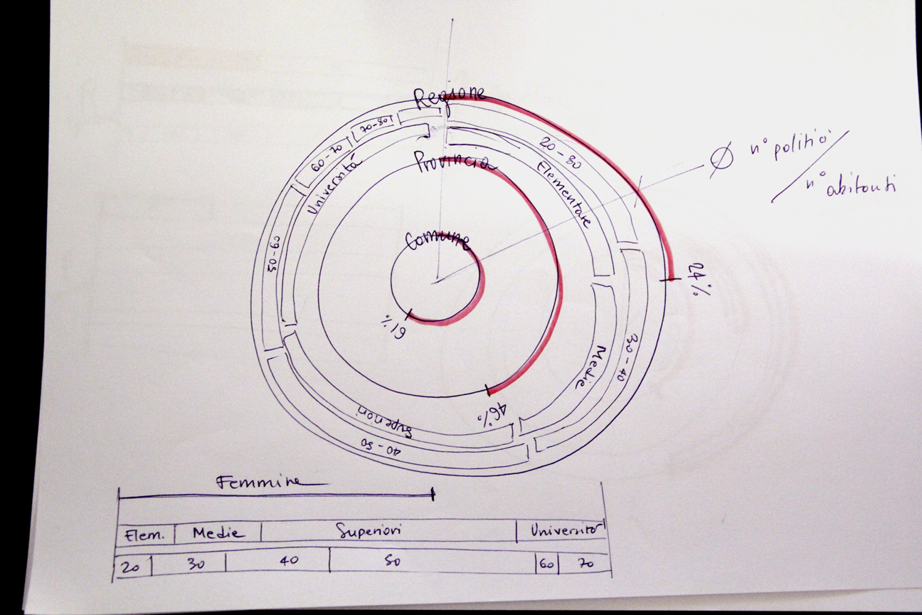
The first idea was to visualize the geographic distribution (on a map of Italy divided by region) of politicians quantity, with a focus on their gender, age and education level. We discard this solution because it appear to be too crowded.
To visualize these data we will use a tree structure. The width of each branch is related to the number of politicians.